Vegetation Types & Changes
The Chihuahuan Desert Rangeland Research Center (CDRRC) has experienced sweeping changes in type and density of vegetation.
Four general vegetational surveys have been made on the Chihuahuan Desert Rangeland Research Center lands. In 1858 a land survey of the northern 1/2 of the lands of the Center was completed along with the lands of the neighboring current USDA Jornada Experimental Range. A subsequent land survey in 1881 covering the mountainous lands on the southern part of the center and along the Rio Grande on the west finished the first land survey for the Center. From the notes made by the surveyors during the surveys, the plants observed along each of the section lines was recorded, and from this information a general vegetation map was created.
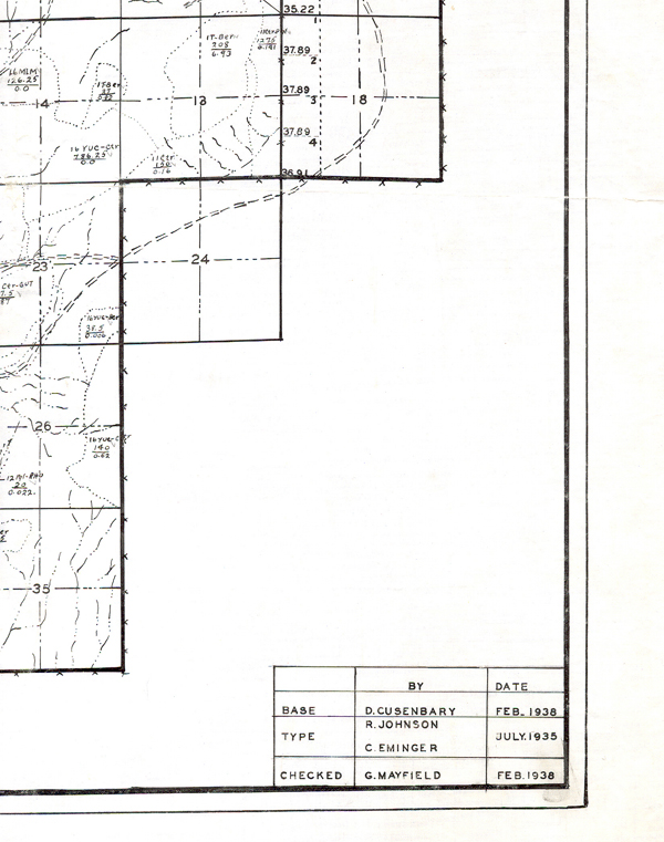
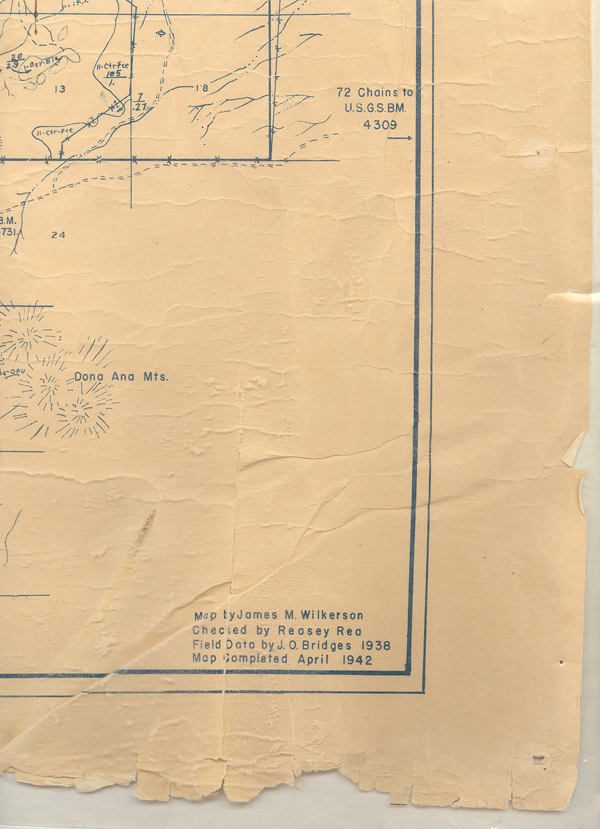
The vegetation surveys made in 1935 and 1938 were done according to the "Instructions for Range Surveys" (Inter-agency Range Survey Committee, 1937). Each vegetation type was defined by plant dominance and animal unit months (livestock carrying capacity) were calculated using the forage-acre-factor technique.
The 1998 survey was done by using aerial photos and ground-truthing to verify vegetation types. The smallest areas delineated were 10 acres. No estimates of livestock carrying capacity were estimated for the surveys made in the 1800's and 1998.
For more detailed information of the methods used in creating the maps refer to Gibbens, Robert P., Robert McNeely, Kris Havstad, Reldon Beck and Barbara Nolan. 2005. Vegetation Changes in the Jornada Basin from 1858 to 1998. J. Arid Environ. Volume 61 Issue 4 pp. 651-668.
For information on Vegetation types and changes contact the Department of Animal and Range Sciences.